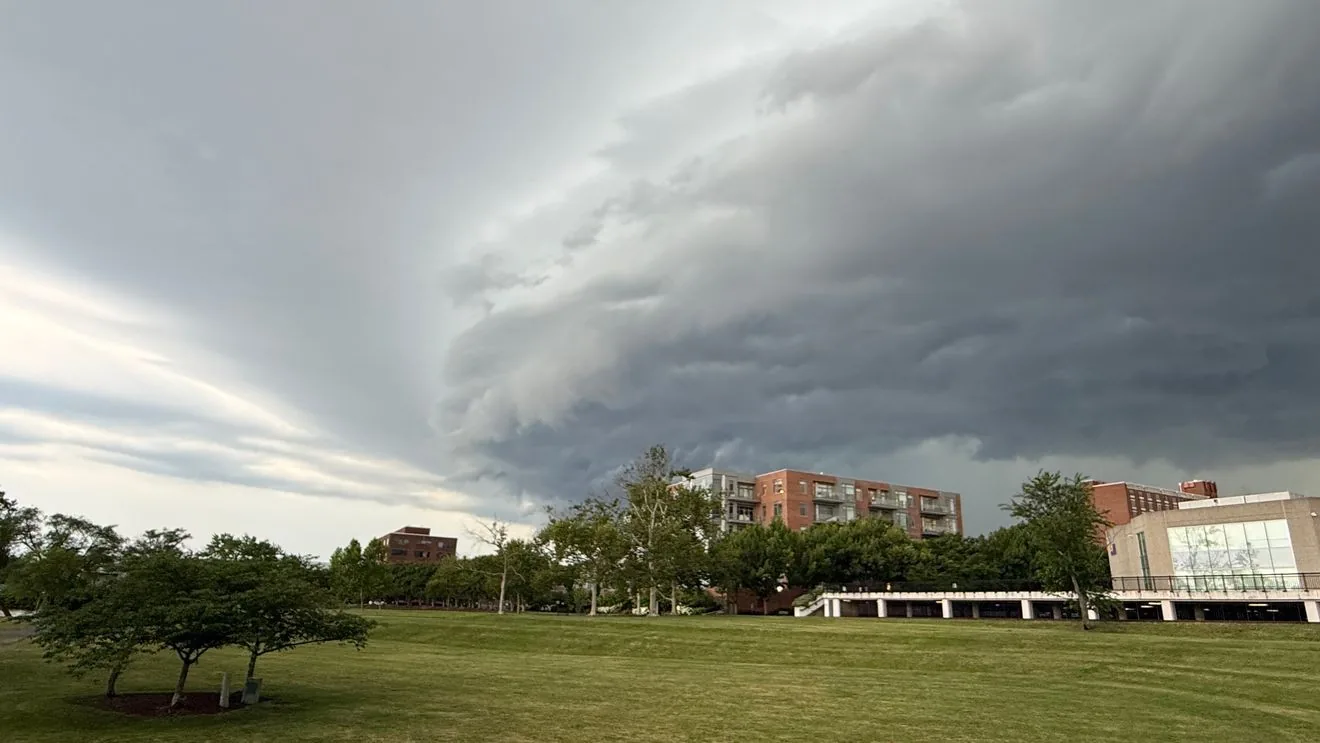
WASHINGTON, DC — A severe thunderstorm watch is in effect for parts of the DMV through 10 p.m. Thursday as conditions remain favorable for strong to severe storms later in the evening.
The atmosphere is warm and humid, and a cold front approaching the region is expected to help storms strengthen as they form and move across the Mid-Atlantic. The biggest concerns are damaging wind gusts, with hail, frequent lightning and locally heavy downpours also possible.
Air travel may be affected at Reagan National, Dulles and BWI-Marshall, with possible disruptions also extending to Philadelphia and the New York City airports, including JFK, LaGuardia and Newark. Not every location will see severe weather, but storms could become more organized as the evening goes on.
What the watch means
A watch does not mean severe weather is happening right now. It means the ingredients are in place for thunderstorms to turn dangerous, so people in the affected area should stay alert and be ready to move quickly if conditions worsen.
If a severe thunderstorm warning is issued for your location, that is a more immediate alert. Warnings mean severe weather is occurring or is expected soon, and people should head indoors and stay away from windows until the storm passes.
Officials say the most active period should be later Thursday evening, though some storms may begin earlier and a few showers or thunderstorms could linger into the night. The overall severe threat is expected to ease after 9 or 10 p.m.
Where the strongest storms could hit
Forecasters say the setup could allow storms to intensify across a wide stretch of the Mid-Atlantic, with the DMV in the main area under watch. The strongest cells may produce brief but intense wind damage, and a tornado cannot be completely ruled out, especially farther north.
The threat is not expected to be continuous rain all evening. Instead, scattered storms are likely to pop up, then organize more as the night approaches. That means conditions can change quickly from one neighborhood or airport terminal to the next.
Residents should be prepared for sudden downpours, lightning and travel delays if storms track over busy roadways or flight corridors. Even where severe criteria are not met, lightning and heavy rain can still create hazardous conditions for evening plans.
What to expect through tonight
The storm risk should gradually diminish later this evening, generally after 9 or 10 p.m., although a few lingering showers or thunderstorms may continue into the night. Before that happens, the main hazard will be strong wind gusts that can knock down limbs, make driving difficult and disrupt airport operations.
Travelers should keep an eye on airline notices and airport alerts, especially if they are flying through Washington, Baltimore, Philadelphia or the New York City area. Anyone heading outside should be ready to go back indoors quickly if thunder is heard or a warning is issued.
Weather officials plan to keep tracking the storms as they develop and move across the region. Conditions may improve late tonight, but the timing and strength of individual storms can still vary by location.
When the weather turns dangerous, SVH Snow is watching.