CONCORD, NH — New England is heading into a mostly quiet overnight period, though northern Maine is getting an early taste of autumn as a Frost Advisory takes effect across parts of the region. Clearing skies overnight are expected to allow temperatures to fall low enough for frost to develop in the colder valleys and low-lying spots, offering the first real reminder that September has settled in across the northern tier of New England.
Overnight Temperatures Split Sharply Across the Region
Southern New England will generally see overnight lows drop into the mid-50s to lower 60s, a comfortable range for early September. Farther north, conditions turn noticeably colder, with northern New England settling mainly into the 40s and lower 50s overnight. The coldest pockets, concentrated across northern Maine, could dip into the low to mid-30s, cold enough to put sensitive garden plants at risk if left uncovered.
The sharp temperature gradient between southern and northern portions of the region reflects the clear, calm conditions expected overnight, which allow for efficient radiational cooling in the north while milder air lingers closer to the coast farther south.
Frost and Patchy Valley Fog Expected Overnight
The Frost Advisory covers portions of northern Maine, where clearing skies combined with light winds create ideal conditions for frost formation in valleys and other low-lying terrain. Anyone with tomato plants or other frost-sensitive vegetation still in the ground was advised that covering plants overnight may be necessary to prevent damage.
Separately, some localized valley fog may also develop overnight, especially across portions of Vermont and other northern valleys. Forecasters said the fog is not expected to be widespread, but a few spots could turn briefly murky as temperatures bottom out closer to daybreak, a detail worth noting for early risers in those areas.
Dry Roads Expected for the Wednesday Morning Commute
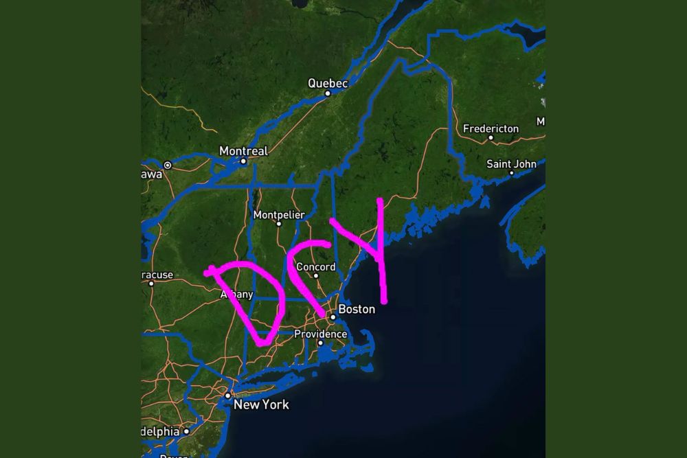
Most of New England will stay dry through the Wednesday morning commute, with mainly clear roads and few weather-related travel problems expected across the region. The main items commuters in far northern areas should watch for are isolated valley fog and frost, particularly across northern Maine, though no snow or significant thunderstorm concerns are expected during the commute window.
Clouds are expected to increase through the day Wednesday as the next weather system approaches from the west, setting the stage for a shift in conditions later in the day.
Widespread Rain and Stronger Winds Arrive Wednesday Night
While Wednesday starts dry, widespread rain is expected to begin later in the day across Vermont and northern New York before expanding across the rest of northern New England by Wednesday night. Southerly winds will also begin increasing on Wednesday, especially across Vermont and northern New England, though forecasters noted that the stronger winds and heavier rain will hold off until later Wednesday and into Wednesday night.
The shift represents a clear break from the quiet pattern in place overnight, as the approaching system brings New England’s stretch of calm, dry weather to an end. Forecasters described the atmosphere as essentially using Tuesday night to stretch before conditions become considerably more active by Wednesday night.
Looking Ahead as the Pattern Shifts
With widespread rain and stronger winds building in for Wednesday night, residents across New England, and especially in Vermont and northern New York, are encouraged to prepare for a more active pattern by midweek. The transition from a calm, frost-touched night to a wet and breezy Wednesday night illustrates how quickly conditions can change as the region moves deeper into September.
Forecasters will continue monitoring the incoming system’s timing and intensity as it approaches, with additional updates expected as the rain and wind arrive across the region.
For continuing coverage of severe weather events and critical storm analysis across the United States, visit svhsnow.com.