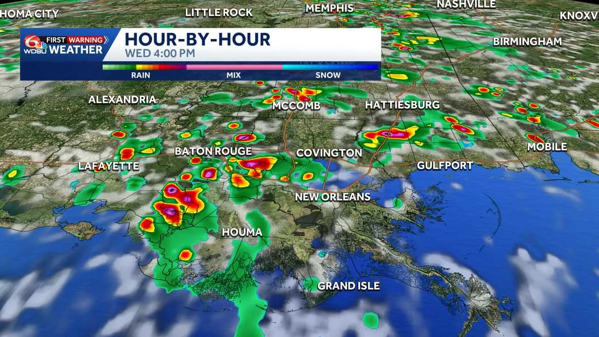
NEW ORLEANS, LA — Storm chances are expected each day across Louisiana through Friday, and forecasters say the pattern could produce a mix of brief heavy rain, lightning, and a few stronger storms. The setup is not expected to be an all-day washout for most places, but people should be ready for conditions to change quickly.
Wednesday is shaping up with spotty to scattered storms during the afternoon, along with highs in the low to mid 90s and heat index values between 102 and 108 before storms develop. WDSU First Warning Weather has labeled Wednesday through Friday as Impact Days because of the risk of isolated severe weather and localized flash flooding.
What the main hazards are
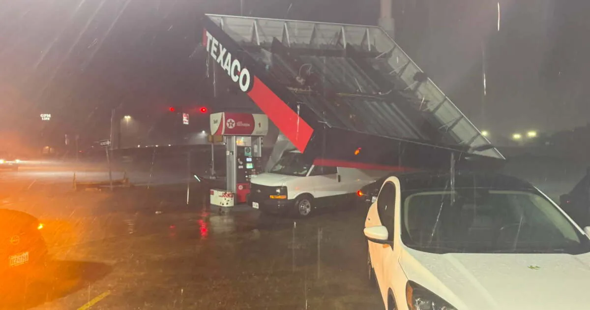
The biggest concerns are damaging wind gusts, small hail, intense lightning, and bursts of heavy rain that could briefly turn storms more dangerous. Forecasters say wind gusts of 35 to 50 mph are the more likely threat, but an isolated severe storm could produce damaging winds above 60 mph.
Because some storms may move slowly, the flooding risk is tied to repeated downpours in the same area. The Weather Prediction Center has Louisiana under a Marginal Risk for flash flooding on Wednesday and a Slight Risk on Thursday. That means a few neighborhoods could see water problems even if nearby towns stay mostly dry.
Why forecasters are watching Thursday and Friday
Storm coverage may increase Thursday and Friday, and that could raise the chance of localized flooding in places that get hit more than once. Forecasters say the late-week pattern looks more scattered to numerous, which is why they want people to monitor conditions closely as the week goes on.
Rain totals of 1 to 3 inches are expected through Friday. While that amount can create problems where storms stall or repeat, it also offers relief for areas that have been drying out over the last month. The rain should also help keep afternoon temperatures from climbing quite as high as they otherwise would.
What Louisiana residents should expect next
For most communities, the main message is to plan for daily interruptions rather than nonstop rain. A dry stretch in the morning could still give way to strong storms later in the day, and those storms may be enough to produce brief wind damage or ponding on roads.
People should keep an eye on the sky, have a way to receive weather alerts, and be ready to adjust travel or outdoor plans if storms build nearby. Forecasters say the threat is not statewide chaos, but it is significant enough to watch carefully through Friday as the atmosphere stays unsettled.
When the weather turns dangerous, SVH Snow is watching.