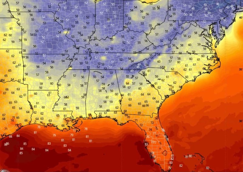
ATLANTA, GA — Long-range forecast models are signaling the arrival of the season’s first widespread fall cool down across much of the South heading into next weekend, with morning temperatures dropping into the 50s and low 60s across a broad stretch of the region. The cooler air mass is projected to spread across portions of Texas, Louisiana, Arkansas, Mississippi, Alabama, Georgia, Tennessee, and the Carolinas, marking a notable break from the warm, humid pattern that has dominated the region for much of September.
Widespread Cool Air Expected Across Interior South
Model guidance shows morning readings falling into the 50s across a large swath of the interior South, including areas of Arkansas, Tennessee, and northern Alabama and Georgia, with some locations potentially dipping toward the lower half of that range. Farther south, temperatures are expected to moderate into the low 60s across central Texas, Louisiana, and the Gulf Coast states, still representing a significant departure from the typical late-September warmth these areas have experienced in recent weeks.
Florida and Immediate Gulf Coast Stay Warm
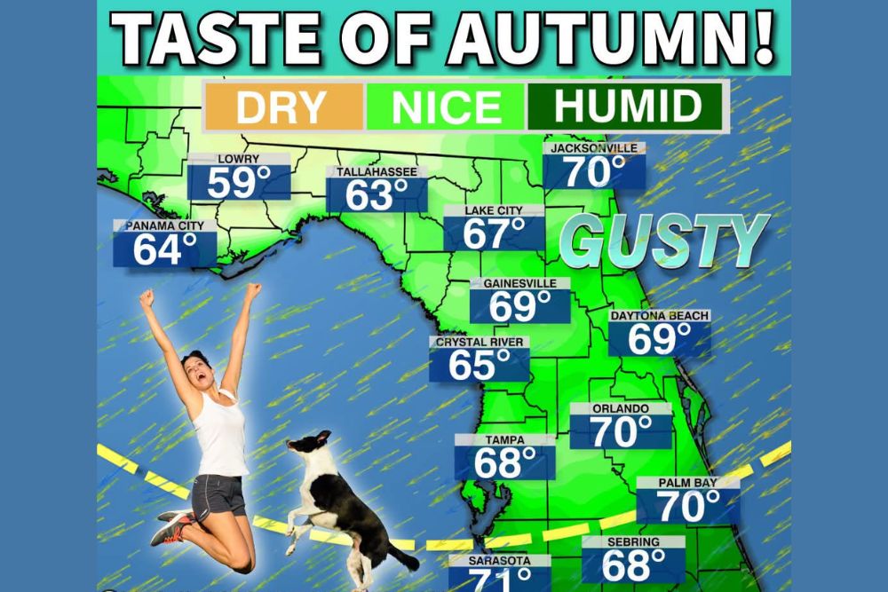
Not all of the region is expected to see the cooler air mass. Florida and portions of the immediate Gulf Coast are forecast to remain considerably warmer, with temperatures holding near 80 degrees even as cooler conditions spread across the rest of the South. This kind of north-to-south temperature contrast is common during early-season cool downs, as Florida’s peninsula geography and surrounding warm Gulf waters typically delay the arrival of fall-like air compared to inland areas.
Forecast Confidence Still Developing
Meteorologists caution that this outlook remains rooted in long-range model guidance, meaning exact temperatures and the precise footprint of the cooler air could still shift in the coming days. Long-range temperature forecasts of this nature typically carry more uncertainty than short-term outlooks, and forecasters note that adjustments to both the timing and intensity of the cool down are possible as the weekend approaches and models gain additional data to refine the forecast.
What to Expect if the Pattern Verifies
Should current model trends hold, residents across much of the South could see their first genuine taste of fall weather next weekend, with crisp morning temperatures replacing the sweltering conditions that have persisted through much of the summer and early fall. Forecasters will continue monitoring model consistency in the coming days, with updated guidance expected to sharpen the outlook as the potential cool down draws closer.
For continuing coverage of severe weather events and critical storm analysis across the United States, visit svhsnow.com.