HILO, HI — Tropical Storm Moke is spinning in the central Pacific and is forecast to pass south of Hawaii, with the Big Island expected to take the brunt of the rain. Forecasters said the storm was about 330 miles southeast of Hilo with maximum sustained winds near 45 mph and was moving west-northwest at 12 mph.
Rain and gusty winds are expected to reach the Big Island Saturday night and continue into the beginning of next week. The storm should hold tropical-storm strength through Tuesday before starting to weaken. Moke is also forecast to stay far enough south of the islands to avoid a direct landfall, but its outer bands are already starting to spread across parts of Hawaii.
Rain and flooding threats rise across the islands
Forecast totals call for 5 to 10 inches of rain on the Big Island, with isolated areas possibly seeing 15 inches. Across the rest of the Hawaiian Islands, rainfall of 1 to 3 inches is expected, with local maximums near 5 inches. That much water in a short period could quickly overwhelm streams, roads and low-lying neighborhoods.
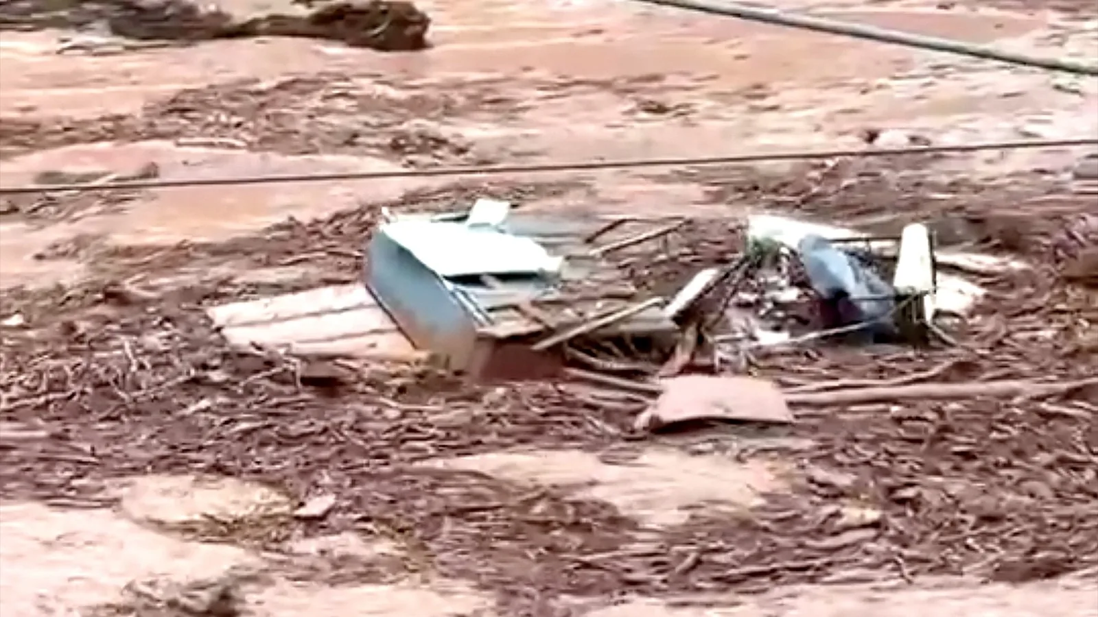
Officials and forecasters are warning that the heaviest downpours may trigger life-threatening flooding and mudslides, especially in steep terrain. Areas already soaked or destabilized by recent weather would be most vulnerable. Rain has already begun reaching the Big Island and is expected to last at least through Monday, with some lingering impacts possibly continuing into Tuesday.
Big Island communities still recovering from Hurricane Lala
Moke’s arrival comes only days after Hurricane Lala swept south of the Big Island as a Category 1 hurricane. That storm damaged or destroyed more than 100 homes, cut off some communities and dropped more than a foot of rain in parts of the state, according to the governor.
The highest elevations saw more than 40 inches, and thousands of people on the Big Island were still without power after Lala. With the ground already saturated and recovery still underway, another round of heavy rain could make cleanup and travel even more difficult. The overlap between the two storms raises the risk of flash flooding in places that have not had time to dry out.
What the current track means for Hawaii
On the latest forecast track, Moke is not expected to strike the islands head-on, but its size and slow approach are enough to cause serious weather impacts. The most dangerous conditions should focus on the Big Island first, then spread moisture and gusty conditions to other islands as the storm moves past.
Residents should be prepared for periods of heavy rain, slippery roads, poor visibility and possible flooding in valleys and steep slopes. The timing points to a wet Saturday night through early next week, with the storm gradually weakening after Tuesday. Even without a direct hit, Moke could still produce hazardous conditions across Hawaii.
When the weather turns dangerous, SVH Snow is watching.