WASHINGTON, DC — A fast-moving cold front is setting up two straight days of active weather across the Midwest and Northeast, with the severe threat shifting east Thursday after storms already fired up on Wednesday. More than 26 million people in the Northeast are under a Level 2 out of 5 severe weather risk.
Damaging winds are expected to be the main concern, but large hail, isolated tornadoes and flash flooding are also in play. The storms could arrive during the afternoon and evening, when the atmosphere is expected to support the strongest thunderstorms.
Where the severe threat is highest
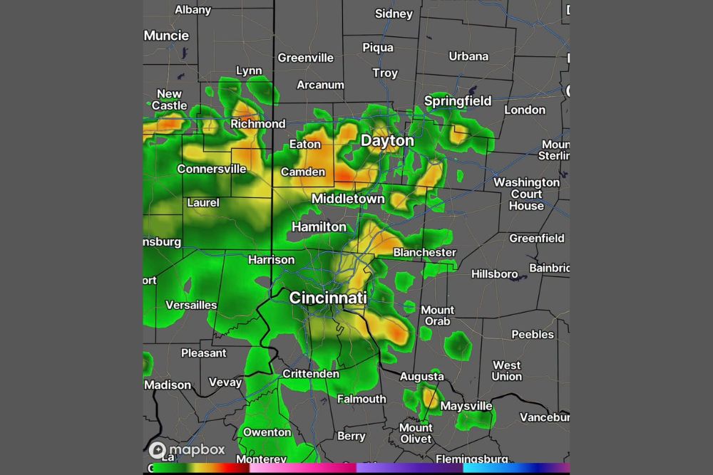
On Wednesday, the greatest severe-weather setup was centered over the Midwest and Great Lakes, where storms could bring quarter-sized hail, strong wind gusts and possibly a tornado or two through the late afternoon and evening. The best tornado chance was expected across northern Indiana and far southern Lower Michigan, closest to the cold front.
Detroit, Toledo, Fort Wayne and Champaign were among the larger cities in that risk area. By Thursday, the focus shifts farther east as the same cold front pushes into the Northeast and organizes another round of storms.
Cities and regions facing the strongest storms
The FOX Forecast Center says scattered thunderstorms are expected Thursday afternoon and evening, with supercells possible. Those storms could produce damaging winds, hail and a few tornadoes, and some of the strongest cells may generate wind gusts of 60 mph or higher.
Washington, D.C., Philadelphia and Baltimore are among the major cities in the Level 2 severe threat. The strongest storms are expected to concentrate in central Pennsylvania and New York, where conditions may become most favorable for intense thunderstorms as the front moves through.
Flood risk and what could happen overnight
Flooding is another major concern, especially in areas that have already dealt with repeated heavy rain this summer. A Level 2 out of 4 flash flood risk covers Philadelphia and stretches into southern New York state Thursday afternoon.
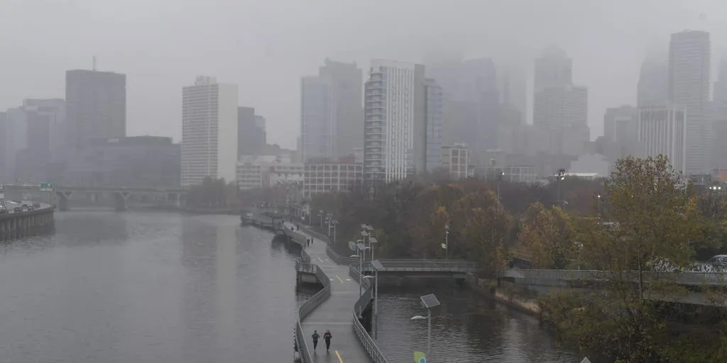
Philadelphia has already seen four flash flood warnings in 2026, including three in August, and the city is running more than 1.5 inches above average for rain so far this month. Rain totals of 1 to 2 inches are possible through early Friday morning, and leftover clouds could also block the view of Thursday night’s partial lunar eclipse.
When the weather turns dangerous, SVH Snow is watching.