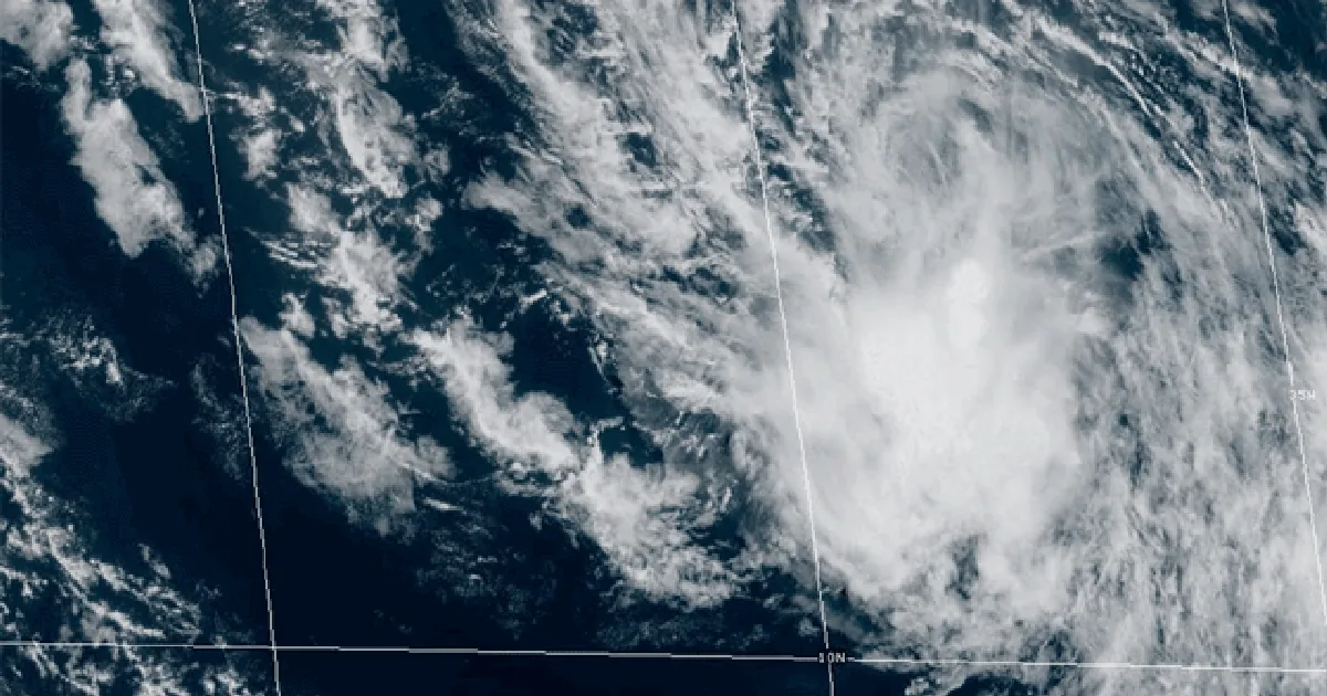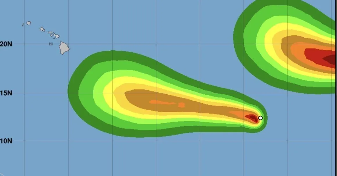
HONOLULU, HI — Forecast uncertainty remains high for Tropical Storm Lowell as it continues turning west in the Eastern Pacific and forecasters watch for possible interaction with Tropical Storm Karina. Lowell was still about 1,520 miles east-southeast of Hilo on Friday, with maximum sustained winds near 45 mph and a slow northwest drift.
A faster westward motion is expected to begin tonight and continue through the weekend. For now, little change in strength is likely because Lowell is dealing with wind shear, but conditions should become more favorable over the next 24 hours. That could allow steady strengthening as the storm moves farther west.
Officials say the storm is still too far away for confidence on any direct effects in Hawaii. The range of possible outcomes is wide, from no impacts at all to a closer approach or landfall threat sometime between Sept. 5 and 10.
What forecasters are watching
The main concern is how Lowell and Karina may influence each other if the two systems get close enough. Meteorologists say the models do not agree on how quickly Lowell will move west, which makes it hard to pin down both the track and the potential intensity. Some guidance brings the storm closer to Hawaii sooner, while other solutions keep it farther east.
That spread in the forecast is why confidence remains low. When tropical systems interact, the steering pattern and strength can shift in ways that are difficult to predict several days out. Forecasters say that makes this storm especially challenging compared with a more isolated system moving across open water.
Lowell could become a hurricane by Sunday or Monday, and the latest outlook suggests it could strengthen into a fairly strong hurricane early next week. Even so, there is still no clear answer yet on whether the storm will curve away from the islands or move close enough to create impacts.
What Hawaii should expect now
For the moment, Hawaii remains in a watch-and-wait phase. Lowell is still a long way from the islands, and there is no immediate threat. Forecasts can change quickly as the storm begins a faster westward push and as the atmosphere around it evolves over the next several days.
That means residents should follow updates closely, especially going into next week when the track may become clearer. The timing window for any possible approach remains broad, and forecasters are stressing that the storm could still stay east of the islands and never become a direct concern.
Because the models disagree so strongly, the most important takeaway is uncertainty rather than a fixed outcome. The next forecasts will be key in showing whether Lowell weakens, strengthens, or gets steered by Karina in a way that changes the outlook for Hawaii.
The bottom line on Lowell
Lowell’s immediate future depends on both its own strengthening trend and the larger pattern around it. If wind shear eases as expected, the storm could gain strength quickly enough to become a hurricane within a couple of days.
But the bigger question is still the track. Forecasters say all options remain possible, including no meaningful impact on Hawaii, and that makes this one of the more difficult storms to forecast so far this season.
When the weather turns dangerous, SVH Snow is watching.