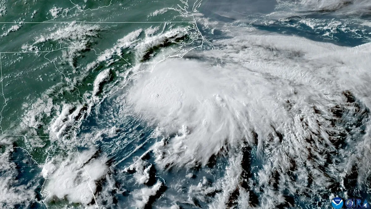
WASHINGTON, DC — Tropical Storm Dolly is moving toward the Leeward Islands in the northeastern Caribbean and could affect U.S. areas as soon as Sunday. Forecasters say the system is not expected to reach hurricane strength, but it may still bring rounds of heavy rain and disruptive weather.
The biggest immediate U.S. concern is Puerto Rico, where AccuWeather says Dolly could produce heavy rainfall Sunday and Monday. After that, the storm may weaken near the islands, then regain some strength if it survives dry air, land interaction, and wind shear on the way toward the Southeast U.S. coast.
That puts Florida, Georgia, Louisiana, and other coastal areas on alert for later next week. The forecast also reaches farther north, with the potential for impacts extending up the Eastern Seaboard if the system redevelops over open water.
What forecasters are watching
Meteorologists say this Atlantic hurricane season has started slowly, even though the calendar is now in the peak stretch for tropical activity. So far in 2026, only four tropical storms have formed: Arthur, Bertha, Cristobal, and Dolly.
AccuWeather lead hurricane expert Alex DaSilva said strong wind shear and island interaction are likely to prevent Dolly from rapidly intensifying early next week. In practical terms, that means the system could lose organization after crossing the Caribbean, even if it keeps producing soaking rain.
DaSilva also said the environment may become more favorable for strengthening off the Southeast U.S. coast by mid to late next week. That possibility is why forecasters are tracking the storm closely even though it is not currently seen as a hurricane threat.
Why homeowners are being told to prepare
Even a weaker tropical storm can cause real damage through flooding, roof leaks, and wind-driven rain. That is why weather experts say homeowners should not wait for a stronger forecast before getting ready.
Recommended steps include checking roofs and windows to make sure seals and coverings are secure, assembling a hurricane kit early, and confirming that homeowners and flood insurance policies are current. Acting before stores are crowded and conditions worsen can make a big difference.
The Atlantic hurricane season runs from June 1 through November 30, with August through October usually the busiest months. Forecasters say the season may still stay relatively quiet overall because El Niño conditions are creating strong wind shear across the basin, but they also warn that weather can change quickly.
What this could mean for the coast
For now, the forecast points to rain and monitoring rather than an immediate landfall emergency. But the storm’s path could shift, and even a weaker system can create rough surf, flooding rain, and difficult travel along the coast.
Florida and nearby Southeast states are the main areas now watching the mid to late next week forecast window. If Dolly holds together long enough to move back over warm water, it could become more organized before approaching the U.S. mainland.
Homeowners along the Eastern Seaboard are being urged to keep paying attention to updated forecasts through the weekend and into next week, especially if the system’s track drifts closer to shore.
When the weather turns dangerous, SVH Snow is watching.