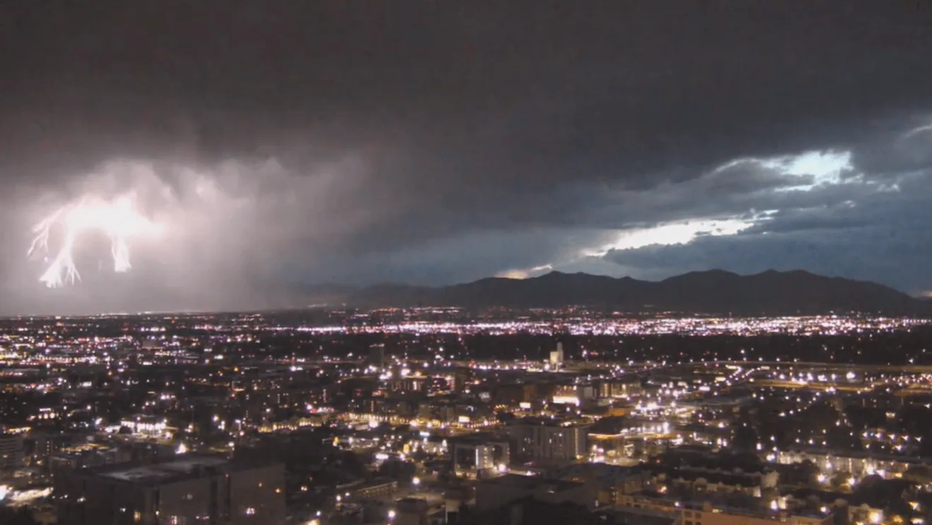
SALT LAKE CITY, UT — A severe thunderstorm warning was issued Sunday night for parts of Salt Lake County as forecasters tracked a storm capable of damaging wind gusts and small hail. The National Weather Service in Salt Lake City said the warning covered a broad stretch of the county and remained in effect until 9:15 p.m.
Officials said wind gusts could reach 70 mph in the warned area. Pea-sized hail was also possible as the storm moved through communities including West Jordan, Sandy and South Jordan.
Areas Under the Warning
The warning also included Herriman, Draper, Holladay, Alta and nearby portions of the surrounding area. The National Weather Service estimated that more than 622,000 people were within the warning zone, underscoring how many residents could have been affected by the storm Sunday evening.
Severe thunderstorm warnings are issued when storms are expected to produce hail or wind strong enough to cause damage. In this case, the main concern was the potential for sudden, forceful gusts that could bring down tree limbs, damage roofs or create dangerous driving conditions.
A Separate Warning In Cache County
Another severe thunderstorm warning was also posted Sunday night for parts of Cache County. That warning carried a lower wind threat, with gusts up to 60 mph possible, and was set to expire at 9 p.m.
The Cache County warning area included Logan, Smithfield and North Logan, along with Richmond, Lewiston, Trenton, Newton, Benson, Millville, Hyrum and Paradise. Forecasters said pea-sized hail could accompany the storm there as well.
What Residents Needed To Watch
The National Weather Service estimated nearly 135,000 people were in the Cache County warning area. Together, the two warnings covered a large portion of northern and central Utah and signaled a short-fuse weather threat that could change quickly as storms moved across the region.
Anyone in the affected counties was urged to pay close attention to rapidly changing conditions, especially where strong wind gusts could affect travel and outdoor activity. The warnings pointed to the possibility of localized damage before the storms weakened or moved out of the area.
When the weather turns dangerous, SVH Snow is watching.