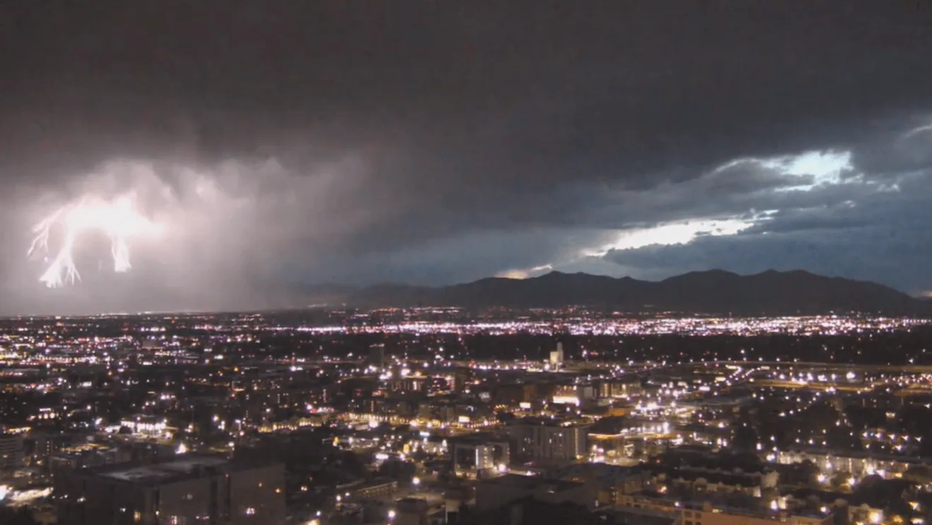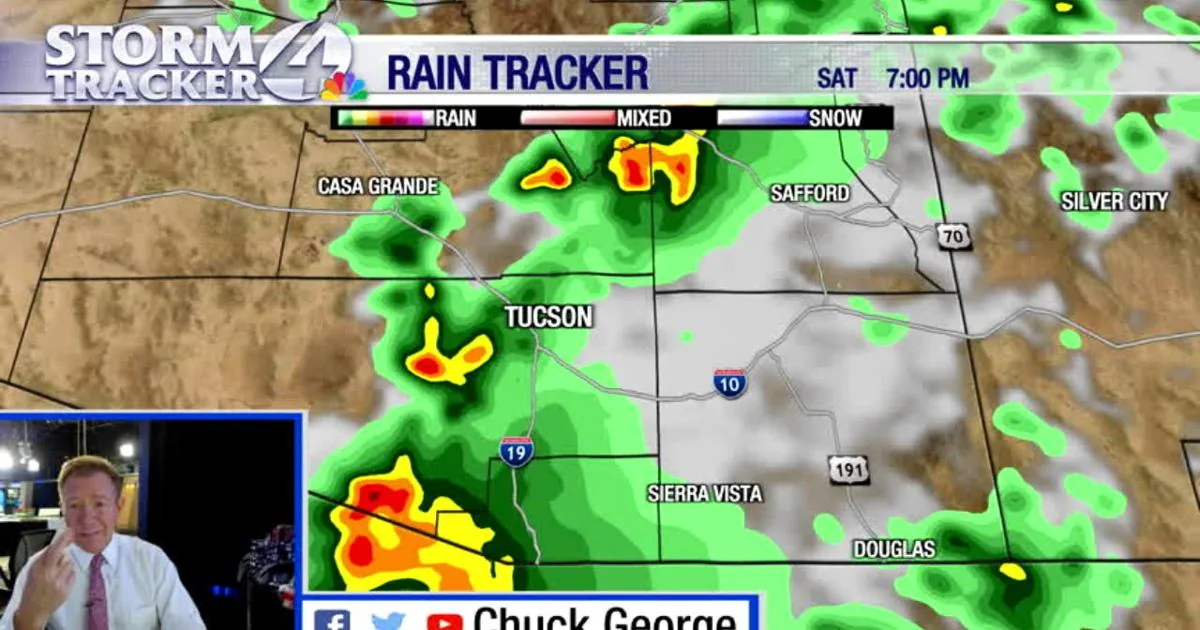
TUCSON, AZ — Flash flooding is underway in parts of Pima County after thunderstorms dumped heavy rain across southeastern Arizona, prompting multiple warnings and a broader watch from the National Weather Service in Tucson. Officials say runoff could keep building overnight as water moves through washes and low-lying areas.
The most serious warning covers south central Pima County through 11:15 p.m. MST, with radar showing storms producing life-threatening flash flooding. Another warning remains in place for eastern Pima County until 10:30 p.m. MST, and flood-related advisories continue in central parts of the county through Sunday morning.
Rainfall totals in some warned areas have already reached between 1 and 3.7 inches. The weather service says additional rain is still possible, especially where storms keep training over the same spots.
Where the worst flooding is happening
The warnings cover several stretches of south and east Pima County, including areas near Topawa, Vamori, Cowlic, Choulic, San Miguel, Coldfields, and other small communities. The watch also includes the Tucson metro area, the Tohono O’odham Nation, the Upper San Pedro River Valley, the Upper Santa Cruz River Valley and Altar Valley, along with nearby mountain ranges.
Officials specifically called out flash flood-prone locations such as Indian Route 19 south of Topawa, Indian Route 20 at Cowlic, and Route 86 between mile markers 133 and 143. Route 286 between mile markers 28 and 30 is also in the warning area. In these places, even a few more inches of runoff can turn dry roads and washes into dangerous barriers.
The National Weather Service said significant rain in the Baboquivari Mountains and nearby desert slopes will continue to feed rapid rises in washes, including the Vamori Wash. Some flood waves are expected to travel slowly downstream, which means conditions can worsen well after the heaviest rain has already passed.
What the weather service expects next
The flood watch remains in effect through late Sunday night, with forecasters warning that scattered thunderstorms Saturday and Sunday could produce rainfall rates above 1 inch per hour in stronger cells. Isolated spots could pick up 1 to 3 inches more rain, especially where storms repeat over the same terrain.
That extra rain matters because the ground is already saturated in some places, and runoff from earlier storms will make normally dry washes respond faster. Low-water crossings, rural dips, creek beds, and poor-drainage areas are all at risk, along with streets and underpasses in more developed parts of the county.
Weather officials are urging people to keep monitoring forecasts and be ready to move quickly if new warnings are issued. Nighttime flooding is especially dangerous because water is harder to see, and the weather service says many flood deaths happen in vehicles.
Safety steps for drivers and residents
The guidance from the National Weather Service is simple: turn around, don’t drown. Drivers should avoid flooded roads, because even shallow moving water can carry a vehicle away or hide washed-out pavement beneath it.
People living near washes and streams should stay alert even if rain is falling somewhere else, since runoff can arrive from distant storms. The weather service also warned that washes and streams can become powerful currents within minutes, especially in hilly terrain with many low-water crossings.
Residents who need to travel should give themselves extra time and choose alternate routes when possible. In the warned areas, conditions may change quickly through the rest of the night and into Sunday as more thunderstorms develop and floodwater keeps moving downstream.
When the weather turns dangerous, SVH Snow is watching.