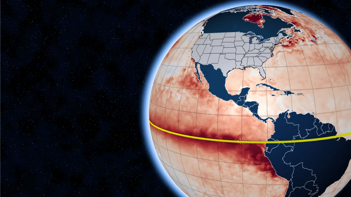
BOSTON, MA — A developing El Niño in the Pacific is already drawing attention from meteorologists because of how it can steer winter weather far beyond the tropics. The pattern reflects a warm phase of the Southern Oscillation, a shift in air pressure across the tropical Pacific that can alter winds, ocean temperatures and storm tracks.
Forecast watchers say this event appears unusually strong, with very warm water spreading through the eastern Pacific and deepening below the surface. That matters because the warm pool can drive repeated thunderstorm clusters in the tropics, and those disturbances may ripple into the jet stream that influences weather across North America.
What the pattern can do to U.S. weather
El Niño does not create the same weather everywhere, but large events have historically pushed the United States toward a wetter and warmer winter pattern. The key question this season is how persistent the warm Pacific signal will be as fall turns into winter, and whether it will be strong enough to shape the jet stream for months.
Meteorologists say smaller events can fade before reaching the United States, but this one may be powerful enough to have an effect. The concern is not just one storm or one cold snap. It is the possibility of a long stretch of conditions that lock in, whether that means mild weather, frequent rain or a mix of winter swings.
Why New England is watching for ice
New England has reason to pay close attention because El Niño can increase the odds of icing when upper-level air is warm but surface temperatures stay cold enough for freezing rain. That combination can be more disruptive than snow in some storms, especially when roads, trees and power lines are involved.
Forecasters point to the powerful 1997-98 El Niño as a reminder of what can happen. That winter brought a major ice storm to northern New England. While each event is different, the pattern shows how a strong Pacific warming episode can line up the atmosphere for more ice than people might expect.
The U.S. Climate Prediction Center has also issued a winter outlook that reflects these kinds of temperature and storm risks. It does not predict every day of the season, but it does suggest conditions that could favor more icing than normal in some places.
What readers should expect next
The big picture is uncertainty, but not complacency. Meteorologists say the developing El Niño is arriving alongside unusual warmth already present in global oceans, which makes it harder to expect long-lived cold this winter. Even so, the season could still include the usual swings of arctic blasts, warmups, snowy periods and thaw cycles.
What makes this winter worth watching is the chance that those swings get stretched out or muted by a powerful Pacific signal. If the pattern settles in, it could influence weather for a long time rather than for just a few days. For now, forecasters say the coming months may bring a bumpy ride for the United States, especially in the Northeast.
When the weather turns dangerous, SVH Snow is watching.