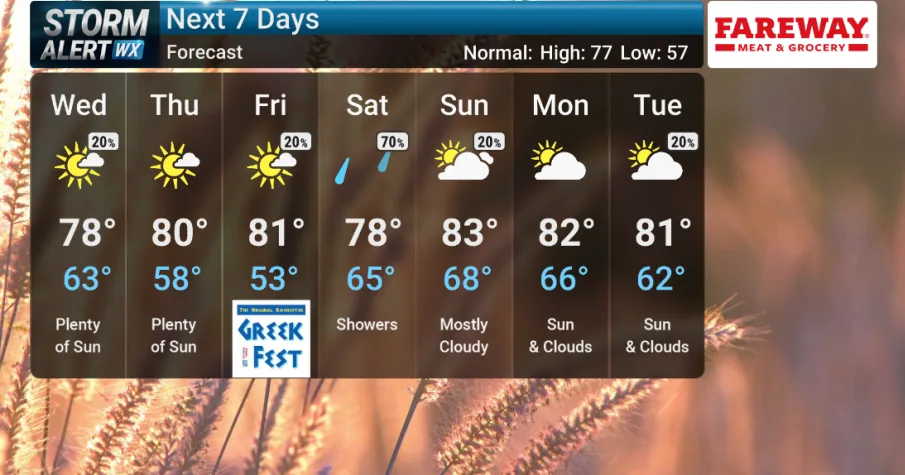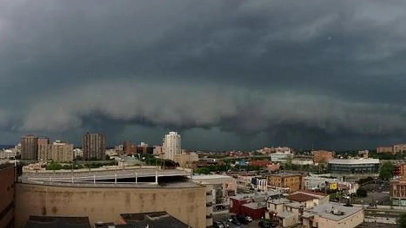
SYRACUSE, NY — Central New York is under a severe thunderstorm watch, and forecasters say isolated to scattered showers and storms could turn dangerous through the afternoon. Many places that see thunderstorms may get heavy downpours, lightning, and thunder, but some storms could strengthen fast enough to trigger warnings.
That means conditions are favorable for severe weather, even though not every community will be hit. A warning would signal immediate danger in a specific area, with damaging wind, large hail, torrential rain, and in rare cases an isolated tornado all possible in the strongest part of a storm.
What the watch means
A severe thunderstorm watch is issued when the atmosphere is set up for storms that could produce 58 mph winds or hail at least 1 inch across. It is not a sign that severe weather is already happening everywhere, but it does mean residents should pay close attention and be ready to act quickly.
Local National Weather Service offices can issue warnings when storms become more dangerous. A severe thunderstorm warning means harmful wind, hail, lightning, and intense rain are expected in the warned area soon. Emergency alerts may sound on phones and TVs when that happens, and officials advise people to seek shelter right away.
Damage from severe storms can include broken tree limbs, downed wires, and power outages. Even storms that do not meet the severe threshold can still knock out electricity if lightning strikes poles or substations, so residents are being urged to stay aware as cells move through the region.
How to stay safe if warnings are issued
If you are outside when a warning is issued, get into a sturdy building or vehicle right away. Boaters should head to shore immediately. If no shelter is nearby, the guidance is to move to the lowest available spot and protect your head until the storm passes.
People indoors should move to an interior room on the lowest floor and stay away from windows and doors. Drivers should pull over if rain becomes heavy, because flooded roads can appear quickly and water can sweep a vehicle away. Batteries, flashlights, and a charged phone are recommended in case of power loss.
If a tornado warning is issued, the safety advice becomes more urgent. Basement shelter is best, followed by an interior room on the lowest floor. Mobile homes and vehicles should be abandoned for substantial shelter, and people in high-rise buildings should avoid elevators and move to an interior hallway or small room.
What to watch next
Forecasters say the threat continues through this afternoon, so the key issue is how quickly individual storms intensify. Some areas may only see rain and lightning, while others could get short-lived but damaging bursts of wind or hail if a warning is issued. The risk is localized, which makes ongoing radar checks especially important.
Residents are being told to keep phones charged, have backup batteries ready, and monitor weather alerts throughout the day. CNYCentral is also directing viewers to its Interactive Doppler Radar, Triple Doppler Radar, and weather app for the latest warning updates. The main message is simple: keep an eye on the sky and be ready to move fast.
When the weather turns dangerous, SVH Snow is watching.