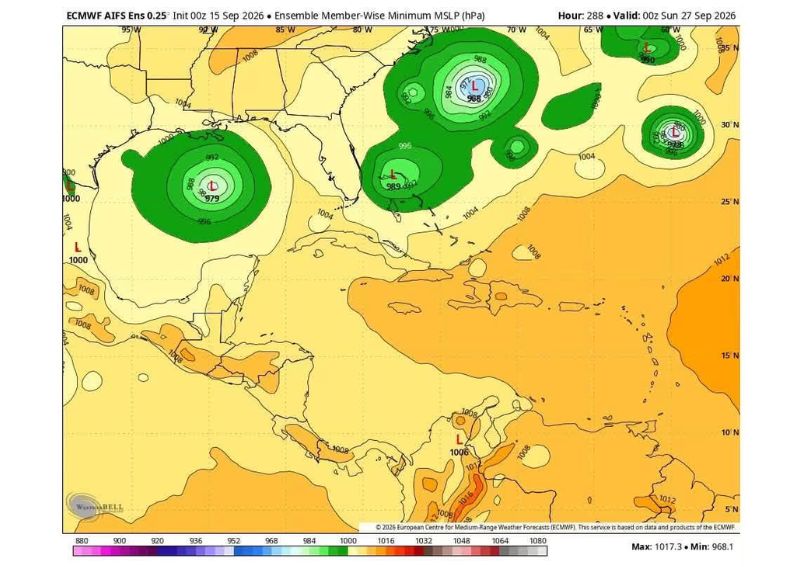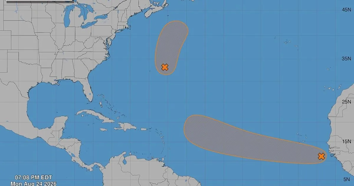
MIAMI, FL — The National Hurricane Center is watching two Atlantic systems that could develop into a tropical depression or storm this week, with one carrying the clearest chance to strengthen near the Cape Verde Islands. Forecasters say that wave, which emerged off Africa’s west coast, was sitting a few hundred miles southeast of the islands and was producing disorganized showers and thunderstorms.
That system is the one most relevant to Florida, even though it is still far out over the eastern tropical Atlantic. NHC forecasters said conditions should gradually become more favorable, and development could happen by the middle to later part of the week as it moves west to west-northwest at 15 to 20 mph. The agency gave it a 30% chance of development in the next two days and a 60% chance over seven days.
What the NHC says about the second system
The other disturbance, labeled Invest 95, is a broad low-pressure area with circulation a few hundred miles east-southeast of Bermuda. Forecasters say it has only marginally favorable conditions, but it could still briefly become a tropical depression or storm through Tuesday while moving northward and north-northeastward well northeast of Bermuda.
By Wednesday, the system is expected to move over cold water, which should cut off its chances of further strengthening. The NHC gave this system a 50% chance of development in the next two to seven days. Forecast models suggest it could still become a concern for Newfoundland, Canada, even though it poses no threat to Florida.
What names could come next
If either system strengthens enough, the next named storm would be Tropical Storm Dolly. Tropical Storm Edouard would be the name after that. The 2026 Atlantic hurricane season runs from June 1 through Nov. 30, and so far it has been quiet, with only three named storms: Arthur, Bertha and Cristobal.
That slow start matches the broader seasonal outlook, which has repeatedly pointed to below-average activity. NOAA’s latest forecast calls for seven to 13 named storms, two to six hurricanes, and possibly no major hurricanes at all, though it allows for as many as two. An average season produces 14 named storms, seven hurricanes and three major hurricanes.
Why forecasters are paying attention now
August is entering the stretch of the year when Atlantic systems are most likely to ramp up, and the strongest part of hurricane season typically runs from mid-August through mid-October. That timing is why forecasters are monitoring these disturbances closely even before they are organized enough to be called tropical depressions.
The Atlantic basin has been less active than usual so far this year, but that can change quickly once a wave finds favorable ocean temperatures and wind patterns. For now, the NHC says the system near Cape Verde is the one with the better chance of becoming the next named storm, while the Bermuda-area low has a shorter-lived window before colder water ends its threat.
When the weather turns dangerous, SVH Snow is watching.