NEW YORK, NY — Stormy weather is lining up across the tri-state area as Labor Day Weekend approaches, with several rounds of strong to severe thunderstorms expected from Tuesday through Thursday.
A slow-moving front is parked over the region and will keep acting as the trigger for storms. The biggest concerns are damaging straight-line winds, hail, isolated flash flooding, and the chance of one or two tornadoes.
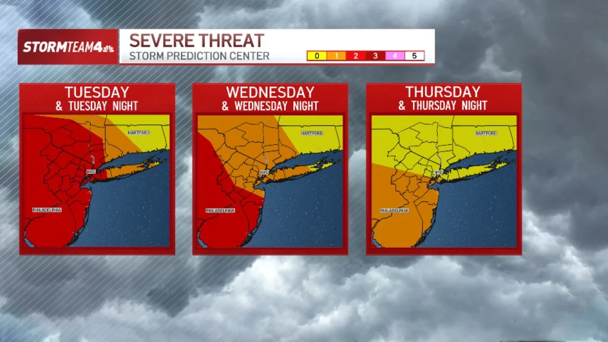
Forecasters say the risk is highest west of the Hudson River, where storms are expected to develop first and then slide southeast toward the Poconos, the Catskills, northern New Jersey, the Hudson Valley, and eventually the New York City metro area.
Where the strongest storms are most likely
Each day this week, the first storms are expected to form over western New York before moving toward the rest of the tri-state. That track puts communities west of the Hudson in the most exposed corridor for severe weather.
As the storms move east, some cells could intensify enough to produce wind damage and hail. The tornado risk is described as limited, but it is not zero, and that is one reason the forecast is being watched closely through Thursday.
The rain will not fall everywhere at once. Instead, it is expected to come in waves, leaving dry breaks between rounds rather than creating an all-day washout for most places.
Flooding risk stays limited but cannot be ignored
Flooding is not expected to be widespread, but isolated flash flooding is possible each day, with Wednesday carrying the greatest concern. Most areas should see rainfall rates that remain manageable.
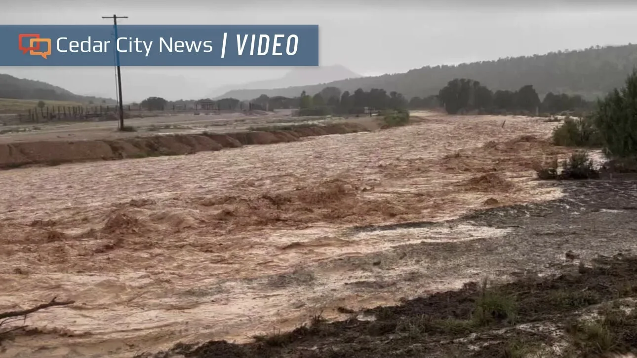
Still, the strongest thunderstorms could dump rain at a rate of 2 inches per hour or more, enough to cause trouble in low-lying neighborhoods and areas with poor drainage. A few isolated spots could also pick up more than an inch of rain over the three-day stretch.
For most of the region, total rainfall from Tuesday through Thursday is expected to stay below an inch. That means the main threat is from short bursts of heavy rain, not a prolonged soaking.
Forecast uncertainty remains before cooler, quieter weather arrives
The hardest part of this forecast is timing. Weather disturbances like these are notoriously difficult to pin down, so the exact windows for the strongest storms may shift as new data comes in.
The front is expected to linger over the area through Thursday before sliding south as a cold front on Friday. Once that happens, the severe threat should move out of the Northeast and conditions should turn cooler, drier, and calmer heading into Labor Day Weekend.
Because the timing may change, forecasters are urging people to keep an eye on updated alerts and radar through the rest of the week, especially if they have outdoor plans or travel scheduled.
When the weather turns dangerous, SVH Snow is watching.