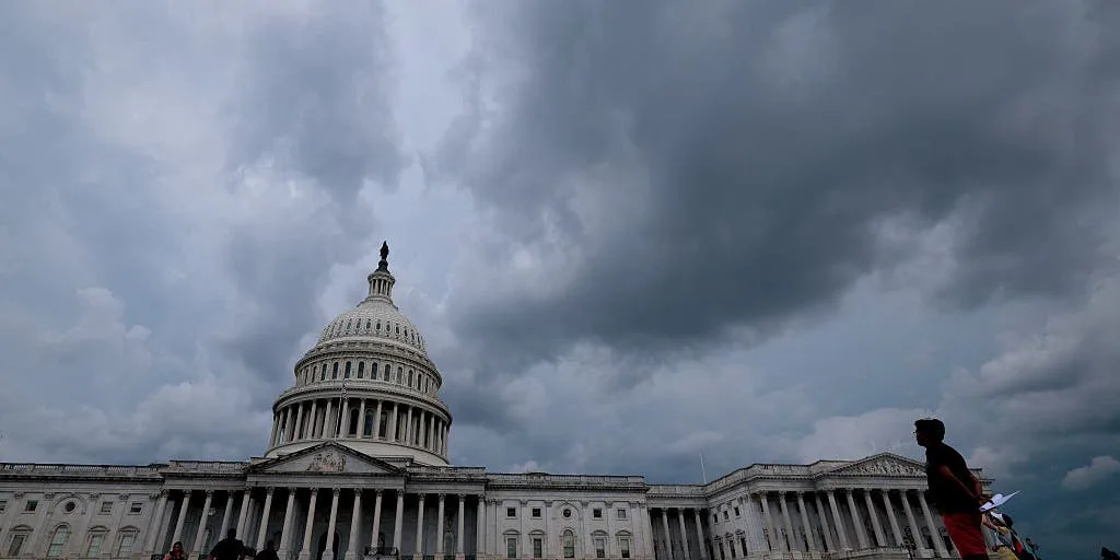
NEW YORK, NY — A stormy stretch is building across the Northeast and Mid-Atlantic, with severe weather risks expected to begin Tuesday and continue into Friday. The FOX Forecast Center says damaging wind gusts are the main concern, but large hail, isolated tornadoes, and dangerous flash flooding are also possible.
The threat covers major cities along the Interstate 95 corridor, including New York City, Philadelphia, Baltimore, Hartford, and Washington, D.C. Forecasters say the setup could also knock down trees and power lines, especially if storms become organized and fast-moving.
This is being watched as a rare multiday event for September, especially in places that have not seen this kind of repeat severe risk so late in the summer season in recent years.
What the forecast shows for Tuesday and Wednesday
The first round of storms is expected Tuesday as systems race out of Canada toward the East Coast. A Level 2 out of 5 severe storm threat has been issued from the Great Lakes to I-95, signaling a broad area where severe weather is possible.
On Wednesday, that same Level 2 risk remains in place from Lake Ontario south to the I-95 corridor. That includes New York City, Baltimore, Philadelphia, and Hartford, where damaging winds are again expected to be the leading threat.
Forecast confidence is still not perfect. The FOX Forecast Center says too much cloud cover could limit storm development in some areas, which means not every location in the threat zone will necessarily see the same level of impacts.
Why flooding is a growing concern
Even where wind is the main hazard, heavy rain may create a separate problem. Forecast rainfall rates are expected to reach 1 to 2 inches per hour in stronger storms, with isolated totals of up to 3 inches.
That kind of rain could quickly overwhelm drains and turn streets into runoff areas, especially in urban settings. Flash flooding is expected to become more likely as the week goes on, and that risk may increase after repeated rounds of storms pass over the same locations.
Severe storms that move through densely populated areas also raise the chance of downed trees, scattered power outages, and road disruptions during the commute or evening hours.
Thursday may extend the rare streak
By Thursday, the Level 2 threat shifts farther south across much of the Mid-Atlantic, including Philadelphia, Washington, D.C., and Baltimore. That would mark a third straight day with the same level of severe weather risk for parts of the region.
The FOX Forecast Center says a fourth day may be added for Friday if confidence improves. If that happens, the stretch would become an unusual run of severe weather days for some cities, especially Philadelphia.
Forecasters say this is likely the first time Philadelphia has faced a Level 2 out of 5 severe storm threat for three consecutive September days since 2023. The only other comparable stretches the center noted were in 2023 and 2008, underscoring how uncommon this pattern can be.
When the weather turns dangerous, SVH Snow is watching.