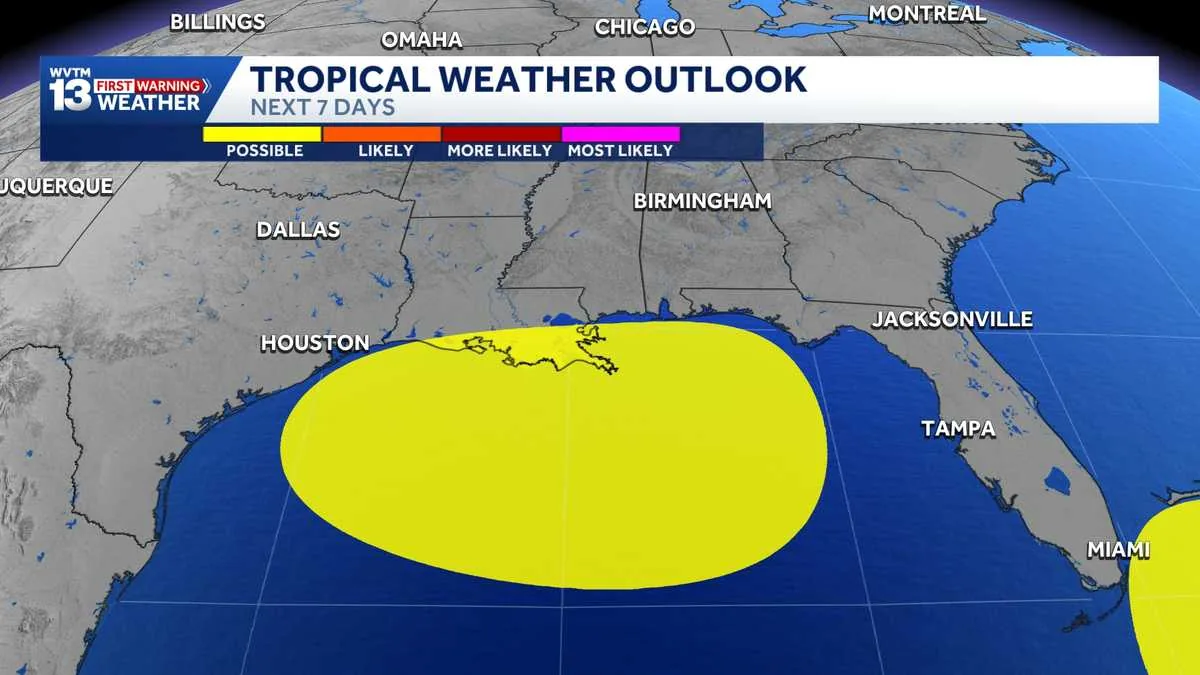
NEW ORLEANS, LA — The National Hurricane Center is monitoring an area of disturbed weather over the northern Gulf this weekend. Forecasters say the system has only a low chance of organizing into a storm right now, but it is being watched as conditions evolve.
If the disturbance does strengthen enough to earn a name, the next one on the Atlantic list would be Edouard. For now, the main concern is the system’s potential to gather a little more structure while moving through the Gulf pattern over the next several days.
Residents along the Gulf Coast are being told to keep an eye on updates, especially if the low remains over warm water long enough to change. The setup is still uncertain, and the forecast can shift as the disturbance moves and interacts with its surroundings.
What the National Hurricane Center Is Watching
The disturbance is centered over the northern Gulf, where forecasters are monitoring whether the weather can become better organized. At this stage, the National Hurricane Center has not described it as an immediate threat, only as an area with a low chance of development.
That means the system is being tracked more for possible future evolution than for an active storm impact right now. Tropical weather forecasts often change quickly, especially early in development, so the center is paying attention to whether the low can hold together and intensify.
The update came as another named system, Tropical Storm Dolly, formed in the Atlantic. That storm is expected to face unfavorable conditions that should limit its strengthening as it moves toward the Lesser Antilles, but it is separate from the Gulf disturbance being watched in the United States.
What Low Chance Means for Gulf Coast Readers
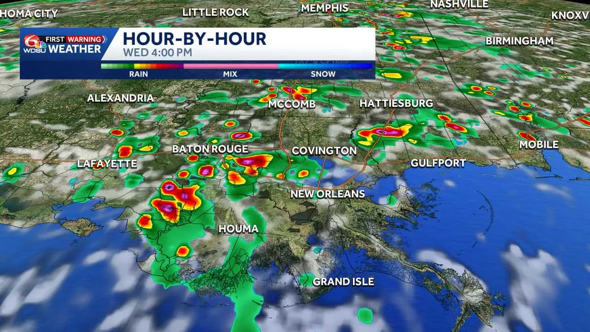
A low chance of development does not mean no impacts at all. Even a disorganized tropical disturbance can bring periods of heavy rain, squalls, rougher marine conditions, and gusty winds, depending on how it tracks and how close it gets to land.
Because the system is still early in its life cycle, the most useful next step is to follow forecast updates from the National Hurricane Center and local weather offices. Small changes in location or strength can matter a lot for coastal areas, especially when a disturbance is near the Gulf shoreline.
For now, the key message is that the system remains under watch, but its odds of becoming a named storm are low. The Gulf Coast should expect more monitoring than alarm at this stage, while staying alert for any forecast changes through the weekend.
What Happens If It Organizes
If the disturbance becomes more defined and reaches tropical storm status, it would take the name Edouard. Naming only happens once the system meets the criteria for a tropical depression or storm, which requires a more organized circulation than the weather currently shows.
Forecasters will be looking at several ingredients, including the system’s ability to maintain thunderstorms and the broader environment around it. Unfavorable conditions can prevent development even when a disturbance is over warm Gulf waters.
Until then, the focus remains on observation and updates rather than a specific landfall threat. The National Hurricane Center’s weekend tracking suggests the system is worth watching, but not yet a high-confidence tropical cyclone concern.
When the weather turns dangerous, SVH Snow is watching.