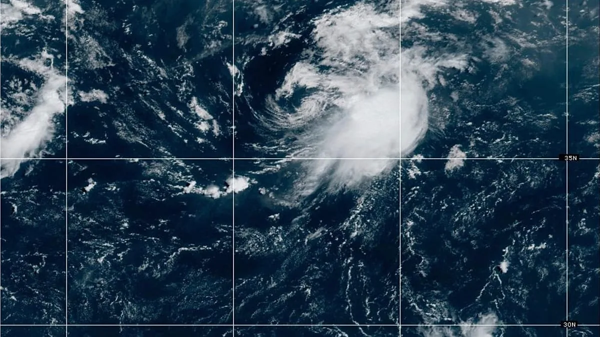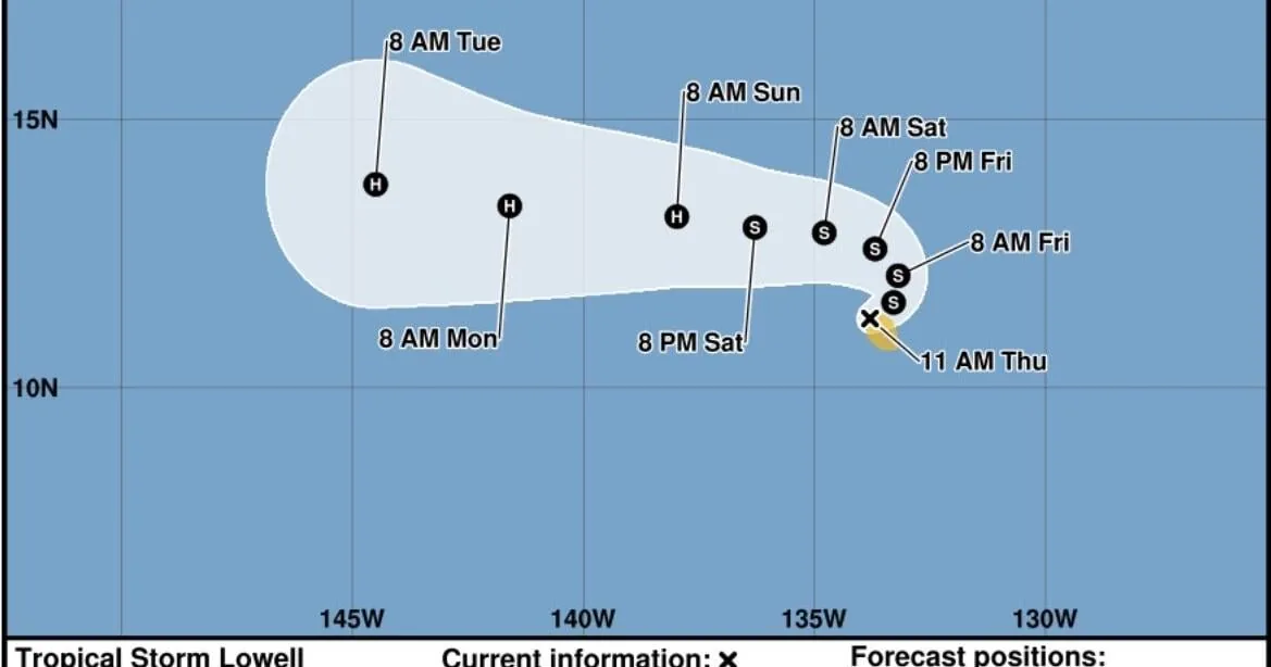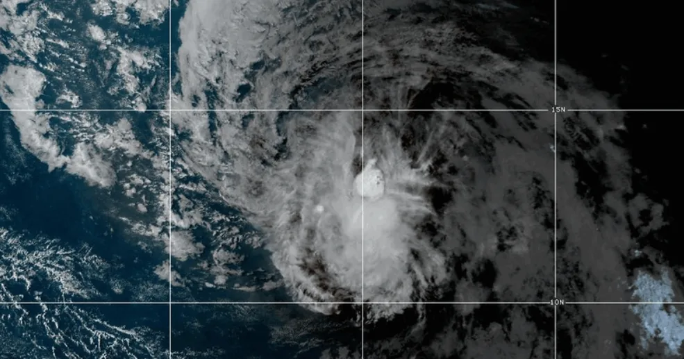
WASHINGTON, DC — Tropical Storm Dolly formed Thursday in the Atlantic Ocean, becoming the fourth named storm of the 2026 Atlantic hurricane season. The system remained far from land late Thursday, but forecasters said it is moving quickly westward across the central Atlantic.
The National Hurricane Center said Dolly had maximum sustained winds of 40 mph, just above tropical-storm strength. It was located about 1,315 miles east of the Leeward Islands and was expected to hold about the same strength over the next 48 hours.
What Forecasters Expect
The hurricane center said Dolly is likely to weaken into a tropical wave before it reaches the Leeward Islands, with that transition expected by Saturday. Even without a named-storm structure, the system could still carry enough moisture to produce heavy rain.
Officials warned that flash flooding is possible in parts of the island chain through Sunday. The same rain threat could spread to the Virgin Islands, Puerto Rico, and Hispaniola through Monday if the system keeps its current track.
Why This Storm Matters
Dolly adds another named system to what has been a relatively quiet Atlantic season so far. The four named storms have been Arthur, Bertha, Cristobal, and now Dolly. Meteorologists had predicted a calmer season because of a deepening El Niño in the Pacific.
The storm’s arrival also came shortly after the death of country music star Dolly Parton at age 80, an unintended coincidence that drew attention to the name. The National Oceanic and Atmospheric Administration says Atlantic storm names are assigned from an alphabetical list that rotates every six years, so the 2026 list will return in 2032.
What To Watch Next
For now, the main concern is rain rather than wind. Forecasters said Dolly should not change much in strength during its first two days, which keeps the focus on where the system tracks and how much moisture it carries into the islands.
Residents in the Leeward Islands, Puerto Rico, the Virgin Islands, and nearby Caribbean areas will want to monitor future advisories for any shift in speed or direction. A small change in track could affect where the heaviest rain falls and whether flooding becomes more widespread.
When the weather turns dangerous, SVH Snow is watching.