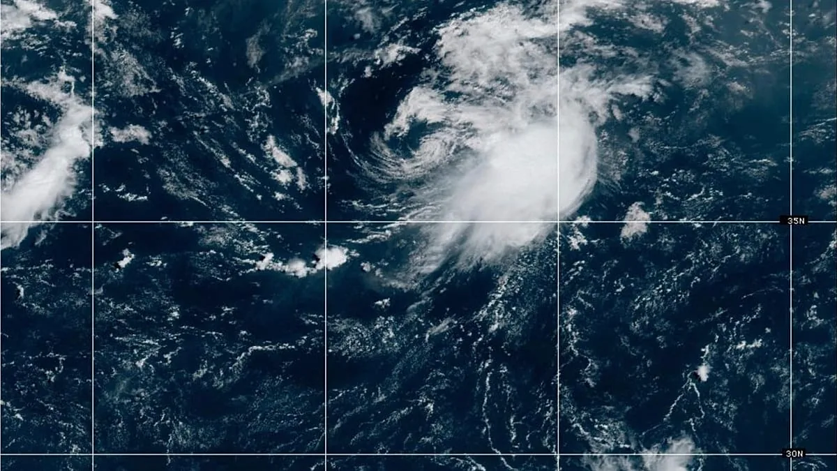
HOUSTON, TX — Tropical Depression Edouard made landfall Tuesday afternoon near Johnson Bayou, Louisiana, and quickly began spreading heavy rain and flash flooding across Texas and Louisiana. The National Hurricane Center said the storm came ashore at 3:20 p.m. EDT with maximum sustained winds of 60 mph and a minimum central pressure of 996 mb.
The system was still a tropical storm at landfall before weakening later Tuesday night. Even after it lost strength, forecasters said the circulation remained organized enough to keep soaking the Gulf Coast through Wednesday, with the heaviest impacts focused across southeast Texas and southwestern Louisiana.
Flooding threat expands across the Gulf Coast
Forecasts call for 3 to 6 inches of rain across the Upper Texas Coast and east-central Texas, with isolated totals reaching 9 inches. The National Hurricane Center said that kind of rainfall could trigger flash flooding, especially in low-lying and urban areas.
The Houston metro area is under a Level 2 out of 4 flash flood risk through Wednesday morning, and parts of southwestern Louisiana, including Lake Charles, face the same threat. A Level 3 flood threat was also issued for parts of the Piney Woods and Big Thicket regions of Southeast Texas, including Beaumont and Livingston.
Officials warned that river flooding may also develop along Edouard’s path. In Port Arthur, the National Weather Service reported rainfall rates of 4 inches just after landfall, underscoring how quickly water can pile up in the hardest-hit areas.
Power outages and strong winds are already adding to the impacts
Edouard’s winds have also caused damage and outages along the coast. The National Weather Service reported a 90 mph gust in Port Arthur, while poweroutage.com showed more than 75,000 customers without electricity in Texas alone as of 9:30 p.m.
Before landfall, the storm made a last-minute jog west, which delayed the initial strike and complicated timing for forecasters. Air Force Hurricane Hunter aircraft measured strengthening winds as Edouard approached the coast, showing the storm had intensified shortly before reaching land.
The storm’s tropical-storm-force winds extended only about 25 miles from the center, making the worst rain and wind impacts highly localized. That smaller size means some communities may see intense conditions while nearby areas get less severe impacts.
Forecast points to weakening, but rain may linger into Wednesday evening
After moving inland, Edouard tracked north-northwest into Texas and began weakening. Forecasters expect it to become post-tropical or a remnant system by Wednesday morning, but the rain could continue into the evening as the circulation holds together.
The storm developed quickly from thunderstorms in the northern Gulf on Friday evening and was first tagged as Invest 97L on Saturday afternoon. It then strengthened from a Potential Tropical Cyclone to a tropical storm within nine hours on Monday before reaching the coast Tuesday.
Galveston Independent School District canceled classes ahead of the storm, and forecasters said flooding could spread farther north if Edouard slows inland. The National Hurricane Center also said the broader Atlantic Basin may stay unfavorable for tropical development later in the month.
When the weather turns dangerous, SVH Snow is watching.