MASON CITY, IA — Cloud cover is breaking up Tuesday evening as a cold front moves through northern Iowa, cutting back the chance for new showers and storms. Forecasters say the boundary could still squeeze out an isolated shower or thunderstorm in the next several hours, but the severe concern has dropped sharply.
Once the front pushes east of the area, rain should no longer be a major threat. Clearer skies are expected to follow into Wednesday, giving the region a quieter stretch after the day’s earlier cloud cover.
What Wednesday and Thursday will feel like
Behind the front, northwest winds will take over and help keep both temperatures and dew points in a comfortable range through midweek. That means less humidity and a more settled feel for people across the region.
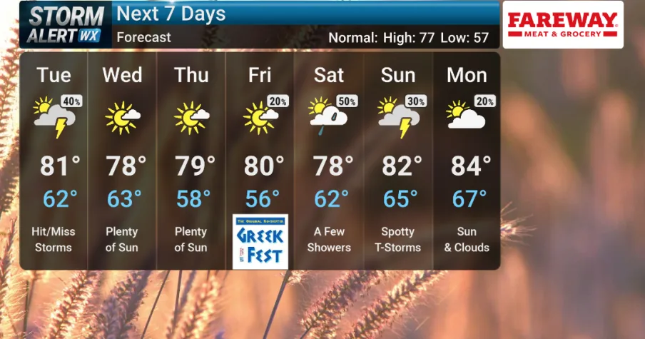
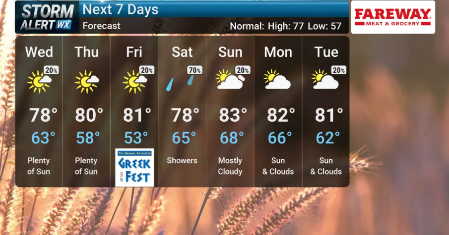
Highs are expected to land in the upper 70s to low 80s on Wednesday and Thursday. The forecast points to a breezy but manageable setup, with the cooling and drying trend tied directly to the passing front.
That midweek pattern also limits the immediate storm risk after Tuesday night. For many communities, the next two days should offer the best weather window of the week before conditions begin to change again.
When moisture returns
By Friday, south winds are expected to return and start pulling more moisture back into the area. Forecasters say that will drive dew points higher and make the air feel more humid again heading into the weekend.
The renewed moisture brings back the chance for showers and storms on Saturday. At this stage, the weather team is not calling for a guaranteed widespread event, but the weekend signal is stronger than the midweek pattern.
That shift from dry northwest flow to warmer south winds is the key change to watch. It marks the transition from a calmer stretch to a more unsettled setup as the next system approaches.
What to watch next
For now, the immediate concern is limited to any isolated storm that could form before Tuesday’s front fully clears the area. After that, most of the region should get a break from rain through at least Wednesday and likely into Thursday.
Residents should also watch for the change late in the week, when increasing moisture may bring another round of active weather. The current forecast leaves the weekend timing open, but Saturday stands out as the next day with a noticeable rain-or-storm signal.
If you have outdoor plans, midweek appears to be the safest window. The more active weather pattern looks poised to return only after the warmer, more humid air arrives again Friday.
When the weather turns dangerous, SVH Snow is watching.