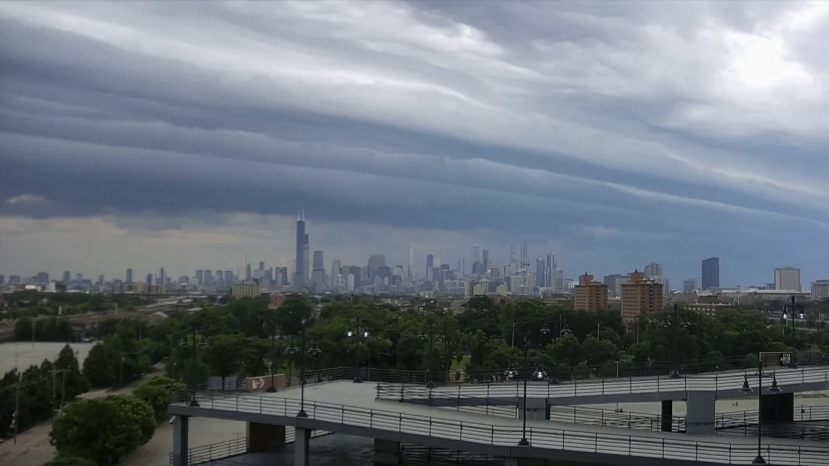
CHICAGO, IL — The Chicago area is heading into a mostly quiet stretch, but forecasters say that break could end in the middle of the week. The Storm Prediction Center has placed parts of eastern Illinois and northern Indiana under a severe weather risk for Wednesday, with the greatest concern centered east of Interstate 57.
That includes far southeastern Cook County, southern Will County and all of Kankakee County, along with a broader marginal risk for several nearby Illinois counties. NBC 5’s Storm Team says the setup could support a few rounds of showers and thunderstorms, including the possibility of isolated tornadoes, damaging hail and wind gusts stronger than 60 mph.
Which areas face the highest risk
The Storm Prediction Center’s slight risk area covers far southeastern Cook County, southern Will County, all of Kankakee County and all of northern Indiana. In the surrounding Chicago region, Lake, Kane, DuPage, LaSalle, Kendall, Grundy and Will counties are in a marginal risk category, which means severe storms are less likely but still possible.
Forecast guidance points to the most serious threat being concentrated east of Interstate 57, where storm modes could become more organized. Forecasters say supercell storms are possible in that corridor, which is why tornado potential is not being ruled out. Even where tornadoes do not form, damaging hail and wind could still accompany stronger cells.
When storms are most likely to arrive
Tuesday should stay mostly calm, with partly sunny skies, a little more humidity and highs in the low 80s. Light breezes are also expected, giving the region one more relatively quiet day before the midweek change arrives.
Early Wednesday morning could bring a few scattered showers and perhaps an isolated thunderstorm, but the main weather window looks more threatening later in the day. The NBC 5 Storm Team says the stronger storms are most likely in the mid to late afternoon Wednesday as a cold front approaches and dew points rise enough to fuel storm development.
That timing matters because any storms that do form may have more favorable conditions to strengthen quickly during the afternoon and evening commute hours.
What the rest of the week looks like
After Wednesday’s system moves through, forecasters expect the region to settle back down for several days. High temperatures should hold in the low 80s through the start of the weekend, which would bring a return to more typical late-summer conditions.
Conditions may change again by Sunday, when readings could climb into the mid to upper 80s. Forecast models also show another chance for isolated showers and thunderstorms, and that unsettled pattern could linger into Monday. For now, the key question is how strong Wednesday’s storms become and whether the highest-risk area produces any rotating cells.
When the weather turns dangerous, SVH Snow is watching.